Where to move around Boulder and across Colorado, by the kind of ground: trails, peaks, snow, rivers, and the work you do at home or in the gym. Each place with its figures and a way to get there.
5 kinds of ground · 53 peaks listed
Peaks, trail starts, ski areas and river gauges across Colorado. Tap a place for its page. Zoom with two fingers, or hold Ctrl (⌘ on a Mac) and scroll.
Map data © OpenStreetMap contributors (ODbL), tiles built by Protomaps and served from this site; places from 14ers.com, OpenStreetMap, Wikipedia and USGS.
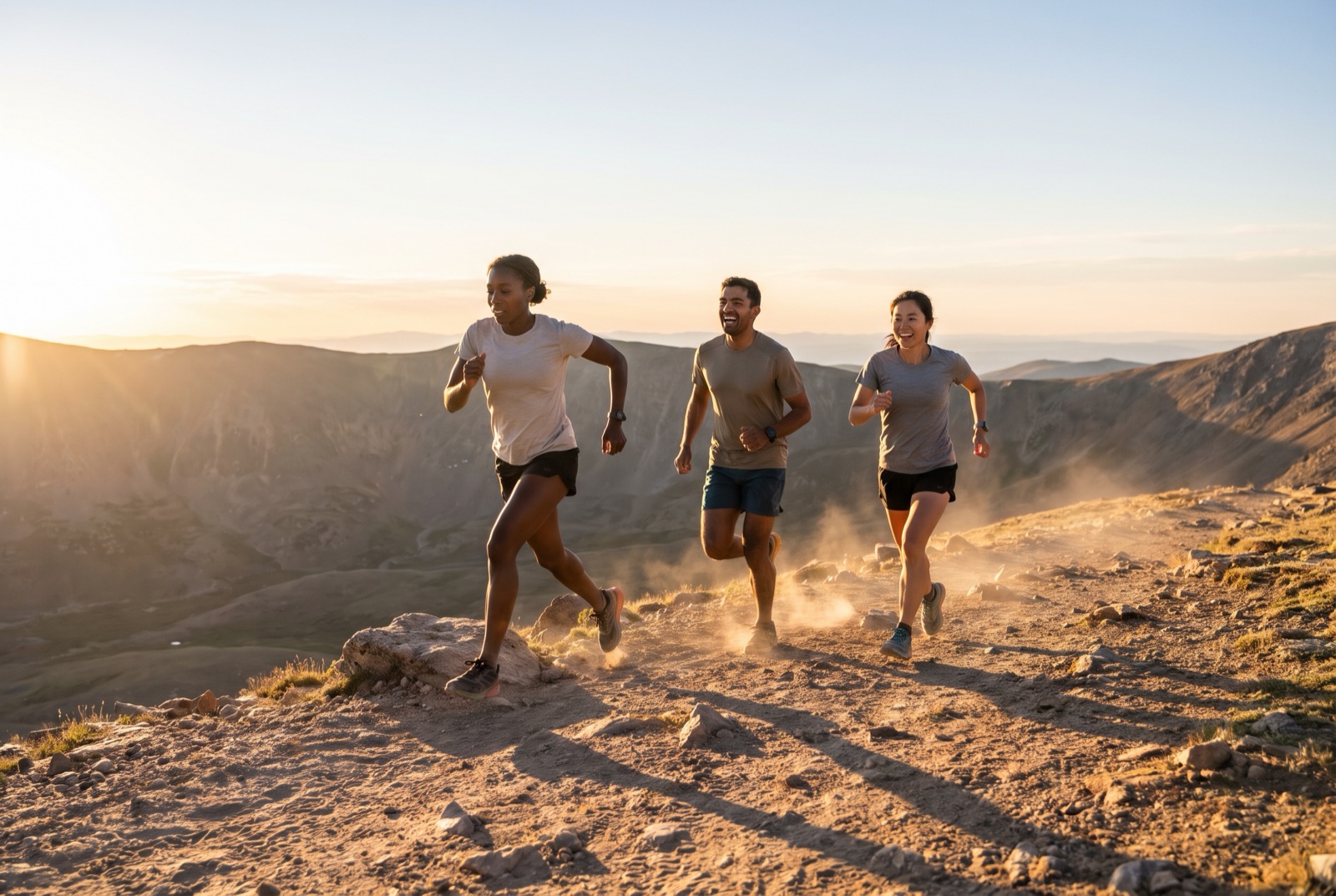
Hiking, running and biking: the trails near town and the ones worth the drive.
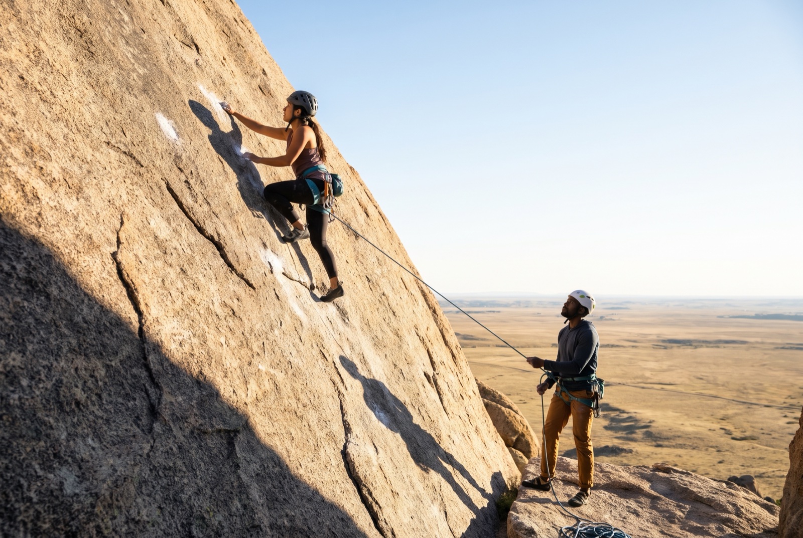
Colorado's 53 ranked fourteeners, nearest first, each with its standard route's figures and the drive to the trailhead.
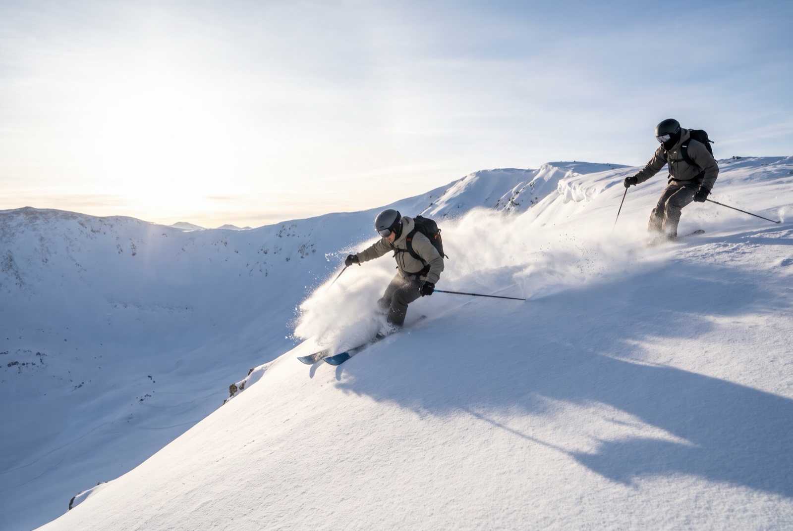
Resorts and backcountry, with the avalanche centre and the snow telemetry linked, never copied.
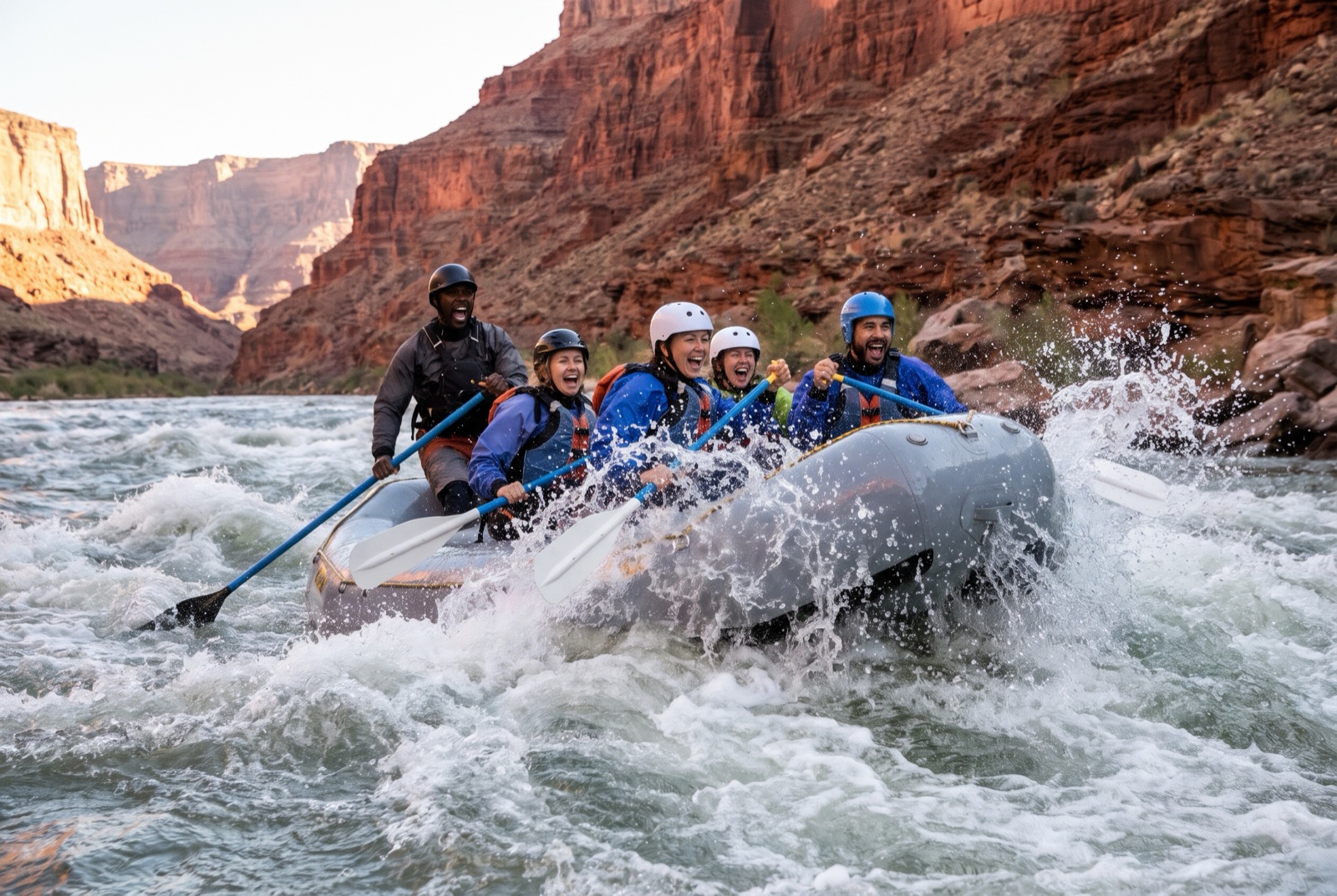
Rafting, kayaking and paddling: access, live flow and the safety record for each stretch.
The week's work at home or in the gym, the one kind of movement with no place, planned with your meals.
 asharedpalate.com